SANEI BUILD:
FURANO REAL ESTATE SPECIALISTS
| Around Furano | ||
| A Brief History and Layout of the Town |
|
|
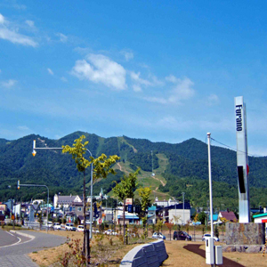
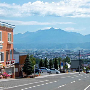
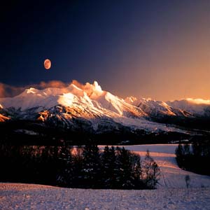
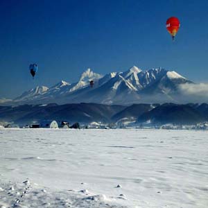
Furano has a long and colorful history. A history that is not easily explained by a foreigner, and one that most Japanese would have a hard time explaining in any detail. Especially in English. Here`s a feeble attempt: The Lay of the Land Furano is located in more or less the exact center of Hokkaido, at 42 degrees north latitude and 142 degrees east longitude. The land is shaped as a rectangle, with the long sides measuring 33km, while the short sides come in at 27km. This gives Furano a foot print of approximately 600km, making it the eight largest of the 34 cities in Hokkaido (Asahikawa, second to Sapporo, is an hour to the north). Lined by mountains on either side of the valley, the largest mountains, to the east of town, are referred to collectively as "The Taisetsu Range". The Japanese characters for this word literally mean "lots of snow". The largest of the peaks in these mountains is Tokachi-dake, supposedly meaning the "roof of Hokkaido", the tallest is Asahidake at 2,290 meters. Touching again on meanings, in the native people`s of Hokkaido (the Ainu) language, Furano is said to mean "odorous flame". This is in reference to the certain odor that pours forth from the areas abundant "onsen", the sulfur rich waters that make up Japans world famous public baths. The area is replete with them. A Short Timeline 1858: Matsura Takeshiro (from Honshu, Japan`s main island) passes through Furano. A huge deal in those days, as most people from down south would never even consider coming to Japan`s "Great White North". 1897: Nakamura Chikara, along with his wife Kou, settle into the Furano area from Fukui Prefecture. They are touted as the first southerns to plant roots in the region. 1900: Railroad tracks between (refered to then as) Shimofurano and Shikaoi (to the east of Furano) are completed. 1903: Governmental offices were established in Kamifurano, approximately 30 minutes north of downtown Furano. 1913: Dr. Shinjo Shinzo of Kyoto University and his team measure longitude and latitude near present day Chushinhyo Park. 1966: Furano and Yamabe townships join forces to become today`s Furano. 1985: During one of the 10 World Cup ski events held since 1981, a record average speed over 100km per hour is attained. An address to the citizen`s of Furano, written by then mayor Takiguchi Kuniichiro in a 1991 publication entitled "Furano, a town where the smell of the four seasons is everlasting, where sentiment filled dreams and romance live on". "Furano city, a place where we are surrounded by wide open nature and farm land, where we simple, diligent residents perservered in our quest for a better life. Now, we are faced with greater challenges. Those faced by our local farmers, through increased competition in the form of foreign meats and vegetables, and those that straddle the fine line between rampant developement and sustainable building that will preserve our harmony with the nature that surrounds us. Through meetings and talks with our local residents, just as we accomplished with our plan for local business formed years ago, we form a new plan here in 1991, a plan based on our people`s wisdom and passion, one constructed for the 21st century. We will introduce Furano as`The Belly Button Town`(click for explanation), `Ski Town`, `Farming Town` and `Wine Town`. And through the guidance and support of us all, we will take Furano into the 21st century.
More to come...
|
||
©2007 Sanei Build Kogyo, Ltd.
Site Design by Jason Smith